How much does digital wayfinding cost?

There's no single price for digital wayfinding. Cost depends on how sophisticated the project is, not just square footage, and as a ballpark, projects range from a few thousand pounds up to over £500,000, depending on complexity and a range of other factors.
What moves a project along that range is mostly the site itself: how many floors and buildings it has, how complex it is, and what technical information you already hold, such as whether CAD drawings exist, what quality they are in and whether they are kept up to date.
What decides the cost?
These are the things we ask about first, because they make the biggest difference in scope and build cost:
- Floors and buildings. A single building on one or two levels is a smaller job than a campus of several buildings, each with several floors.
- How complex the site is. Many entrances, outdoor areas between buildings and routes that change through the day all can add to the work during the build phase of the project.
- Your drawings. What drawings for the site already exist, what quality they are in, and whether they have been kept up to date. Are they CAD drawings or another format?
- Where do you want the map to appear? Web and mobile only, or kiosks and screens as well? They should all be part of the same build, but as a general rule, the more media there are to display the map on, the more cost.
- How accurate positioning needs to be. The blue dot that shows visitors where they are can be set up to different levels of accuracy, and that affects cost. Some of this will be in your contraol, but there may be aspects such as connectivity which affect your options in terms of blue dot positioning.
- Who keeps the map up to date. Your own team through the Map Management System (MMS), the Living Map team, or a mix, depending on your resources and how often the map changes.
- Extras. For example, live transport departures inside the map, as at London St Pancras.
On positioning, Nick Jeffery, who heads up Operations at Living Map, described the conversation in a recent interview: “We educate them on the difference between 3-metre accuracy and 30-metre accuracy, what it means for the user, and what it costs.”
What costs are easy to miss?
The quote is the visible part. On a multi-year wayfinding project, the figure that matters is what the map costs you over its whole life, and several of those costs don’t appear in a first proposal unless you ask for them.
Changes to the map. Buildings change constantly: a unit changes hands, a ward moves, a corridor closes for works. The question to ask any supplier is who makes that change and what it costs. If every update is a support ticket billed as a small piece of professional services, a year of ordinary churn adds up quietly — and the map tends to go out of date, because nobody wants to raise a ticket for one unit. Does the supplier provide your team with a Map Management System so your own team has the power to make some of those changes? This is as much a cost question as an operational one.
Annual licence and subscription. Most digital wayfinding (including ours) will be licensed annually rather than bought outright. That’s normal, but it should be in your model from the start: ask what the licence covers, what it costs in years two to five, and what governs any increase. This will give you a more accurate total cost for the wayfinding map.
Hardware and its lifespan. If the project includes kiosks or screens, the units are the beginning. Mounting, power, data, installation, warranty and eventual replacement all sit alongside them, and screens in public spaces work hard. Beware the difference in cost/upkeep between indoor and outdoor screens - the quality of screens is improving all the time, but weather can still have a major impact on servicing requirements.
Content and language. Someone has to write and maintain the point-of-interest content, and translate it if you need more than one language.
Integrations. Connecting the map to a booking system, a directory or live transport data is a project of its own. Don't forget to consider an approach where you start with an accurate base map and then add integrations when you’re ready, rather than committing to everything on day one. A good supplier should be able to help design a sensible phased plan for implementation.
A good supplier will give you a three, five or seven-year view covering all of this without being pushed. Be suspicious if you can only get a year one number.
And the cost of not having one?
Set against that total, there’s a cost already being absorbed. Keeping a printed directory current, reprinting it every time something changes, and the staff time spent giving directions - none of it appears as a wayfinding line in a budget, which is exactly why it’s rarely counted.
That last one comes up in hospitals in particular. When VitalHub UK announced its partnership with Living Map in November 2024, Mike Sanders, CEO, VitalHub UK, said: “We anticipate this collaboration will reduce the time hospital staff spend repeatedly giving directions, freeing them to focus on more critical, value-added tasks,”
How do you compare quotes like for like?
Wayfinding quotes can be hard to compare, because suppliers scope them differently. Before you compare prices, check that each quote covers:
- the same floors, buildings and outdoor areas
- the same places the map will appear: web, mobile, kiosks, screens
- who makes updates after launch, and whether routine updates cost extra
- what is included at launch and what would be added later
Where do most projects start?
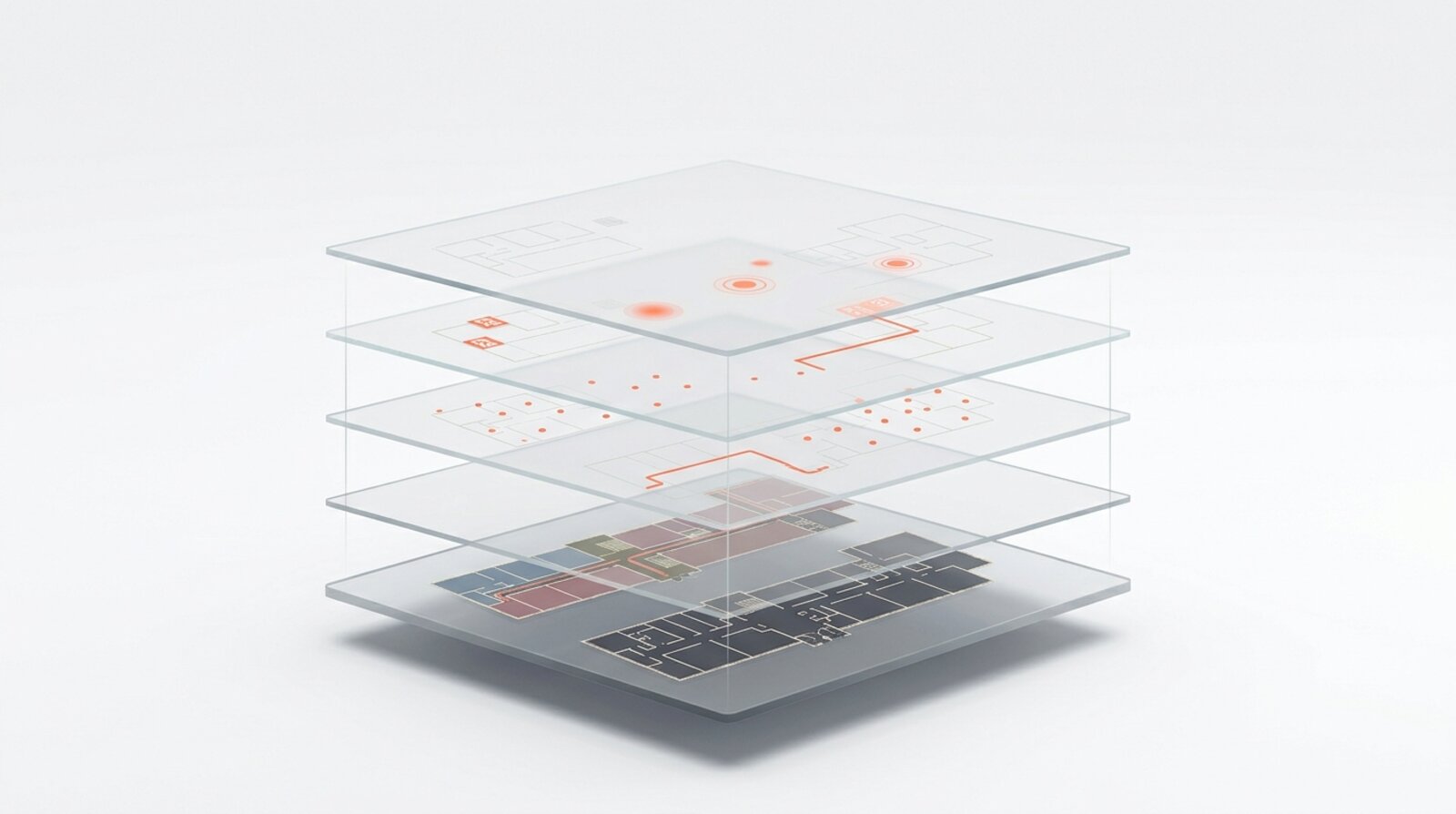
What we tend to see is that a standard wayfinding map evolves as the relationship, the space and the technology evolve. Layers of other services and nearby locations are added, and as other people in the organisation see the benefit, they use the same map for other purposes. So the first project doesn't have to cover everything.
How do you get an indicative price?
Tell us how many floors and buildings you have, what drawings you hold and how current they are, and where you want the map to appear. That's usually enough for a straight first answer. As Nick Jeffery put it in the same interview: “We’re never going to promise something we can’t deliver, and we’re always upfront about what’s involved.”
For shorter answers to other common questions, see our digital wayfinding FAQ.
Tell us about your building and we'll give you a straight answer on cost.
Request a demo
Experience the power of our mapping, wayfinding, and asset tracking technology for yourself. See how our software can enhance your facility.