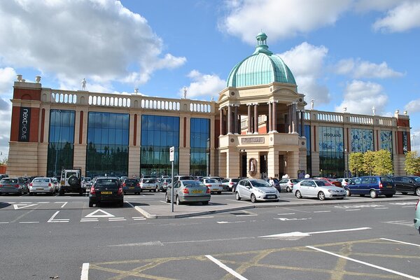
How do you map a neighbourhood or estate rather than a single building?
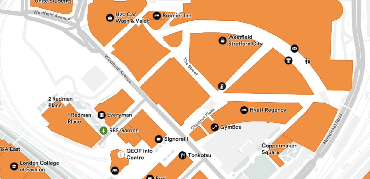

You map the estate as one place, inside and out. Every building, entrance, car park, square and transport stop sits on one map, with routes that run from the street into the buildings and back out again. Visitors open it on their own phone with nothing to download, and the estate's own team keeps it up to date.
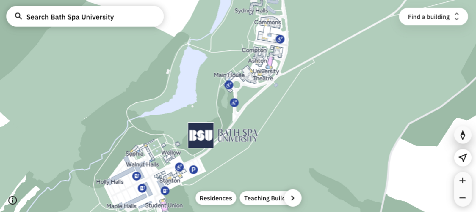
Living Map works this way across London neighbourhoods and estates such as King's Cross, Canary Wharf and Stratford Cross, and on campus at Bath Spa University.
What makes an estate harder to map than a building?
A single building has a front door. An estate has dozens. Visitors arrive from a station, a bus stop, a car park or a side street, and each of them starts somewhere different.
Inside the boundary, a mixed-use estate holds offices, shops, restaurants, homes, public spaces and events, often run by different teams. Sometimes the street itself has more than one owner. Visitors don't see any of that. They see one place, and they expect one map that covers it.
So the map has to cover the public realm as well as the buildings: squares, walkways, parks, entrances, car parks and transport stops, with routes that join them up.
How do visitors find their way between buildings?
A visitor searches for a restaurant, an office reception or a park, and the map shows the way from where they are, across the open spaces and in through the right entrance.
Step-free routing is a core part of Living Map. On an estate, the step-free route can be very different from the obvious one: a ramp round the side of a square, or a lift (elevator) inside one building that is the only level route between two streets.
Visitors reach the map from a link on the estate's website or a QR code on a sign. Everything about a view of the map lives in its web address, so a QR code can open the map right where the visitor is standing, and a link in an event listing can open the route to the venue.
Jack Sibley, Head of PropTech & Innovation at King's Cross, said: “The Living Map digital wayfinding map is a valuable addition to the King’s Cross neighbourhood, aligning perfectly with our commitment to delivering an exceptional experience for visitors and encouraging them to discover and enjoy the diverse range of facilities within this vibrant cultural hub.”
Can the map show live transport times?
Yes, where the data is available. Living Map shows live transport departures inside the map at London St Pancras and at a number of shopping centres. On an estate built around a station, the same approach lets someone leaving an office or a restaurant see the next departures and decide when to head off.
How do you keep the map right when the estate keeps changing?
Estates change all the time. Units open and close, a square is taken over by a market or an installation, a walkway shuts for works, and seasonal events bring in people who have never been before.
The estate's own team can update the map through Living Map's Map Management System (MMS), and the Living Map team can take on some or all of the updates. How the work is shared depends on the team's resources and how often things change. As Nick Jeffery, who heads up Operations at Living Map, said in a recent interview: “A static map quickly becomes a liability.”
Events are a good test. When Canary Wharf Group announced its map in January 2024, Manuela Zwingmann Wood, Associate Director of Brand & Residential Marketing, said: “The Winter Lights festival is a celebration of art, technology, and the unique atmosphere at Canary Wharf. Our map aims to complement this experience, easily guiding visitors through the mesmerising installations.”
Can tenants and events be promoted on the map?
Yes. The estate's team can promote offers and events on the map through pop-ups, from a food market in the square to late opening across the restaurants. That gives the estate one place to show visitors what's on across all its tenants, and a reason to explore beyond the building they came for.
It also shows the estate what visitors are looking for. Living Map collects no personal data, and usage analytics are anonymous, but they show what people search for on the map, in their own words.
Does the same approach work for campuses and retail parks?
Yes. Bath Spa University has a kiosk on campus, and its digital maps are on the University website and in the My Bath Spa app. Retail parks face many of the same questions: large car parks, several entrances and the walk between units.
Where to start
Begin with how people arrive. List the stations, bus stops, car parks and entrances, and the questions your reception, concierge and security teams are asked most often. Then decide who will keep the map up to date, and how often it will need to change.
Read the King's Cross case study to see how a neighbourhood map works in practice, or our digital wayfinding FAQ for shorter answers to common questions.
If your site spans more than one building, talk to us.
Request a demo
Experience the power of our mapping, wayfinding, and asset tracking technology for yourself. See how our software can enhance your facility.