How do museums and visitor attractions help visitors find their way?
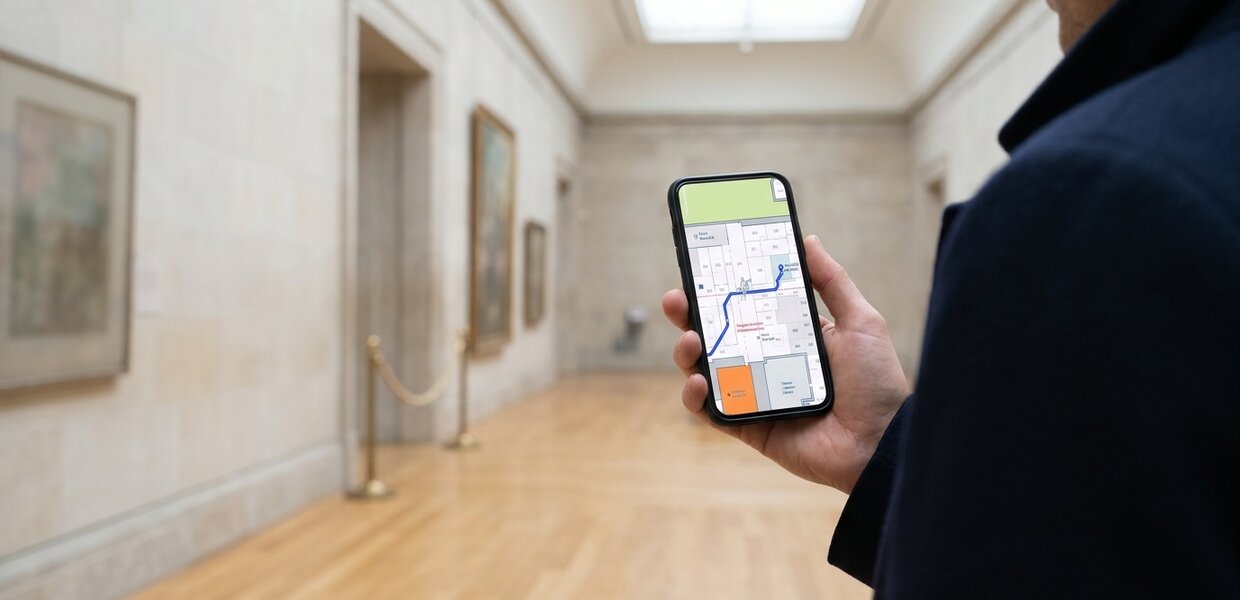

They give visitors a map they can open on their own phone, with nothing to download. It shows the way from where the visitor is, includes step-free routes, and is kept right when a gallery closes or a display changes.
Living Map provides the visitor maps at The Met in New York and at Glenstone. The sections below take the questions a museum or attraction team is likely to ask: what the map needs to do, whether it needs an app, how closures and changing exhibitions show up, and how it works outdoors.
What do visitors need from a museum map?
Visitors arrive with a short list: the gallery or exhibit they came for, somewhere to eat, the toilets, a route that suits them. Then a gallery turns out to be closed, and the printed plan in their hand is wrong.
The questions that follow land on the front desk. Jessica Cardona, Product Manager, The Met's Digital Department, said: “Living Map introduced routing, live positioning, and step-free routes, which have proved to be incredibly valuable features for our visitors and front-line staff. Directing visitors to the digital map with the most up-to-date information regarding gallery closures, allows us to communicate effectively with our visitors while supporting our environmental initiative to reduce our carbon footprint.”
The same case study says: “By heavily promoting the map on-site, we relieve the front-line and security teams by decreasing the number of visitor inquiries for directions.”
Does a museum need an app for its visitor map?
Not necessarily. Living Map is web-first: the map opens from a link or a QR code on the visitor's own phone, and nobody has to download anything. A museum can link to it from its website, as The Met does at maps.metmuseum.org. The visit page and the signs at the entrance are the obvious places to start.
A map's state lives in its web address: the floor, the position, the open point of interest and the route. So a route can be shared as a link, and a QR code on a sign can open the map in the right place.
Loic Tallon, Chief Digital Officer, The Metropolitan Museum of Art, said: “This is a key milestone in the Museum's journey toward a scalable and sustainable solution for indoor positioning and wayfinding”
If a museum already has its own app, the map can sit inside it. It is still web-first, so visitors without the app can use the map too, with nothing to download.
How do museums show closed galleries and temporary exhibitions on the map?
The map is a live one, so a closure or a change can go on it as soon as the museum's team makes it. The Met directs visitors to its digital map for the most up-to-date information on gallery closures, so visitors can see what's open before they walk there.
The museum's own team makes the changes through Living Map's Map Management System (MMS), and the Living Map team can take on some or all of the updates. How the work is shared depends on the museum's resources and how often displays change. Nick Jeffery, who heads up Operations at Living Map, put it this way in a recent interview: “A static map quickly becomes a liability.”
Temporary exhibitions work the same way. When a display arrives, moves or leaves, the team updates the map, and visitors see the change the next time they open it.
How do you map an outdoor attraction: gardens, estates and sculpture parks?
Outdoors, the questions change. Distances are longer, paths branch, and the toilets, the café and the car park can be a long way apart. Visitors want to know what is nearby and how to get there in a way that suits them.
The map can show points of interest such as food and drink stands, toilets and family activities, and step-free routing is a core part of Living Map, so the route can suit visitors who need level paths. The blue dot shows a visitor's position using the phone's own location. How precise that is varies, and a venue can switch it off.
Valentina Nahon, Senior Director of Public Engagement, Glenstone, said: “Living Map not only helps visitors navigate the site but helps them discover more about the art, architecture and nature at Glenstone”
Can the map help visitors discover more, and promote the shop, café and events?
Yes. The museum's team can promote offers and events on the map through pop-ups, for example an event, a café offer or extended shop opening. The map can also open with a venue's or sponsor's branding, such as a naming-rights partner's name.
The map also shows what visitors are looking for. Living Map collects no personal data, and usage analytics are anonymous, but they show what people search for on the map, in their own words. A team can see, for example, which galleries visitors search for most, and use that to decide what to promote and where to put signs.
Where to start
Start with the questions your front-of-house team is asked most often, and the places where visitors tend to get lost. Then decide who will keep the map up to date, and how often galleries and displays change.
To see how a museum map works in practice, read the Met case study or the Glenstone case study. For shorter answers to common questions, see our digital wayfinding FAQ.
Talk to us about your venue.
Request a demo
Experience the power of our mapping, wayfinding, and asset tracking technology for yourself. See how our software can enhance your facility.